Day 0
— San Antonio (Santiago), Chile
This large, modern port serves Chile’s capital, Santiago, a city with Spanish colonial charm and a vivacious spirit. Encircled by the Andes and the Coastal Range, Santiago is centered around the Plaza de Armas, with several of the city’s landmarks: the 18th-century Metropolitan Cathedral the Palacio de la Real Audencia from 1808, the City Hall and the National Museum of History. North of San Antonio lie the picturesque old port and university town of Valparaíso and the colorful seaside resort of Viña del Mar. In between the coast and the capital are valleys filled with some of Chile’s most famous wineries, all inviting you to come and taste.
Day 1
— Days At Sea
Day 2
— Scenic Cruising Reloncavi Sound
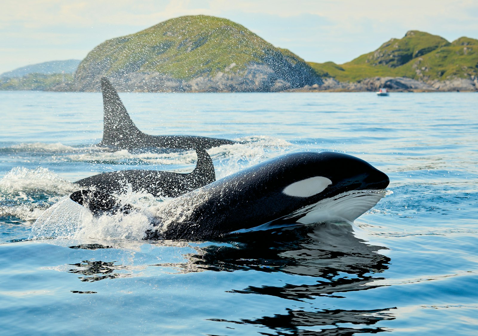
Puerto Montt, in Chile’s Northern Patagonia Los Lagos region is set on the shores of a large bay identified as Reloncavi Sound. To the east looms Mt. Yate, a snowcapped, glaciated stratovolcano, and beyond that the cordillera of the Andes. The sound is punctuated by islands, the three largest being Tengio, Maillén and Huar. Two much larger islands, Puluqiui and Queulín, sprawl across the mouth of the sound, separating it from the Gulf of Ancud. The point where the Reloncavi Estuary empties into the sound is effectively where the Chilean Central Valley meets the Pacific Ocean. Salmon farms dimple the coves of the sound, and pods of orcas are sometimes seen. Near the sound on shore, Chile’s Alerce Andino National Park protects a vestigial forest of ancient alerce trees, similar to the huge sequoias found in North America.
Day 2
— Puerto Montt, Chile
Puerto Montt sits beneath a skyline of snow-capped volcanoes. Volcan Osorno towering 2,652-meter (8,701’) above the town, erupted in 1835 and was described by naturalist Charles Darwin. The town sits at the gateway to a myriad of outdoor adventures including an exhilarating white-water rafting trip, tranquil fly fishing and scenic hiking in Alerce Andino National Park. Petrohue Rapids and Lake Llanquihue, are set within a rural landscape of sheep farms. A walk around town allows for an encounter into the South American way of life. A vibrant fish market, selling everything from seaweed to salmon to spiny crabs sits astride a street lined with craft stalls packed to the brim with brightly colored woolen ponchos. South American fur seals lounge along the seawall promenade as colorful fishing boats lay at anchor offshore. Puerto Montt is an eclectic mix of new and old, refined and rustic. Reloncaví Sound is a panoramic vista of high volcanoes. To the south, is scenic Moraleda Channel and the entrance to the picturesque Chilean Fjords.
Day 3
— Scenic cruising Moraleda Channel
The Moraleda Channel is a protected waterway running along the coast of Chile from the Gulf of Corcovado in the north to the Laguna San Rafael in the south. It separates the myriad mountainous islands of the Chonos Archipelago from the Chilean mainland. Like the Inside Passage on the Pacific coast of North America, the Moraleda Channel is a geological feature. Its course follows the geologic Liguiñe-Ofqui Fault on the eastern side of the islands, which are actually the peaks of the submerged Chilean Coastal Range.
Day 3
— Scenic cruising Darwin Channel
The Darwin Channel cuts through the elongated, mountainous islands of the Chonos Archipelago in Southern Chile, connecting the Pacific Ocean on the west with the Moraleda Channel running along the Chilean mainland. These forested islands, mostly uninhabited, are actually the peaks of the submerged Chilean Coastal Range. Darwin Channel is a westward continuation of the Aysén Fjord, connecting to the Pacific at Isquiliac Island, and opening at its eastern end into Darwin Bay. Being free of navigational hazards, it forms a preferred, scenic pathway for ships navigating in the area.
Day 4
— Scenic cruising Baker Channel
The Baker Channel is a large, multi-armed fjord that cuts from Tarn Bay in the Gulf of Penas some 75 miles into the Chilean mainland. It lies roughly halfway between the Northern and Southern Patagonian Ice Fields, and its southern arm culminates at the face of the Jorge Montt Glacier, which flows from the Southern ice field and frequently calves icebergs into the channel. The channel forms the northern boundary of Chile’s vast Bernardo O’Higgins National Park.
Day 4
— Caleta Tortel, Chile
At the meeting point of the Baker River and the fjords of Chilean Patagonia, Caleta Tortel extends along the shoreline on stilts, its buildings and walkways constructed entirely from local cypress. There are no streets. Instead, a network of wooden paths traces the contours of the coast, rising and falling with the terrain and connecting homes, docks, and hillside trails. The village was established in the mid-20th century as a timber outpost, and that origin remains visible in both its materials and layout. Everything is built in response to the landscape rather than imposed upon it. The result is a settlement that feels integrated into the shoreline, shaped by water levels, weather, and the steepness of the surrounding hills. Beyond the village, the geography becomes increasingly complex. Fjords narrow and widen without pattern, islands break the horizon, and channels lead toward the Northern and Southern Patagonian Ice Fields. Boat journeys from Tortel move through this network of waterways, where glaciers such as Jorge Montt continue to calve into remote lagoons. Time here is spent moving through the village on foot, following the boardwalks as they curve along the water and climb into the forest, with each turn revealing another section of coastline or channel beyond.
Day 4
— Transit the English Narrows
On the long Messier Channel between the huge Wellington island and the Chilean mainland, the English Narrows is a natural, eight-mile obstacle consisting of a scattering of islands constricting the passage to a width of as little as 200 yards. It presents no hazard to a skilled navigator under most conditions, but at spring tides the current runs as much as six knots, and wind conditions may also make navigation risky. The narrows transit is a good time to be on deck, to keep an eye out for birds such as diving petrels or steamer ducks, and possibly the small, rare dolphins that are sometimes seen in remote areas like this.
Day 5
— Scenic cruising Eyre Fjord
Eyre Fjord penetrates the mainland of southern Chile from the Icy Channel about 20 miles to the broad face of the massive Pio XI glacier, also known as the Brüggen Glacier. It is the longest glacier in the Southern Hemisphere outside Antarctica, flowing some 40 miles from the Southern Patagonian Ice Field to the fjord. It is also one of the very few advancing glaciers on earth. The glacier face is located near a large eastern arm of Eyre Fjord called Exmouth Fjord.
Day 5
— Pio XI Glacier (Bruggen Glacier), Chile
At the head of scenic Eyre Fjord is situated the longest glacier in the southern hemisphere outside of Antarctica. The monumental ice-mass of the Brüggen Glacier fills the fjord to a width of 4.5 kilometers (3 miles) and covers an area of 1,265 square kilometers (488 square miles). Colossal ice cliffs rise to a height 75 meters (246’) and are cut by deep-blue crevasses, and free-standing ice pillars known as seracs. Some 66 kilometers (41 miles) upstream of where it meets the ocean, the Brüggen Glacier merges with the ice of the Southern Patagonian Ice Field. Unlike other glaciers worldwide, it advanced significantly from 1945 to 1976 adding nearly 60 square kilometers (23 square miles) to its toe. Located deep within the boundaries of Bernardo O'Higgins National Park, it was named after the German-Chilean geologist Juan Brüggen Messtorff. Bernardo O'Higgins National Park is one of the last refuges for the small Chilean deer known as a huemul and species such as the Andean condor and marine otter may also be found here.
Day 5
— Scenic cruising Wide Channel
The Wide Channel is an inside passage along the coast of southern Chile. It separates the eastern lobe of the huge Wellington Island from the Chilean mainland, starting between Saumarez Island and Icy Channel in the north and opening into the Concepcion Channel in the south adjacent to the Bernardo O’Higgins National Park on the mainland Wilcock Peninsula. Surrounded by precipitous mountains, its shoreline on the mainland side is interrupted by two large fjords, the Europa and Penguin fjords. Join your expedition team members on deck or in an observation lounge for expert insights into the area.
Day 6
— Scenic cruising Peel Fjord
Cutting eastward from the Sarmiento Channel in Southern Chile, this fjord divides into three separate fjords, called Amalia, Asia and Calvo Fjords. Amalia leads to Amalia Glacier, the El Brujo Glacier is in Asia Fjord, and Calvo boasts several small glaciers of its own. The mainland to the east is all part of the huge Torres del Paine National Park. The area is a fascinating geological panorama, and your expedition team members will be available to interpret the sights, as well as identify wildlife spotted while cruising the scenic waterways.
Day 6
— Brujo Glacier, Chile
Entering Peel Fjord from the Sarmiento Channel in southern Chile, your ship veers into the branch called Asia Fjord. As you cruise deeper into the fjord, the water’s surface is dappled with floating ‘bergie bits’ of ice, and occasional larger growlers. Meanwhile the steep slopes on either side are tinseled with lacy waterfalls flowing from the snow-frosted peaks above. Ahead, two ochre slopes cradle a glowing blue-white face of cracked and fissured ice two kilometers across and hundreds of feet high, spilling with geologic slowness from the South Patagonian Ice Field far up the valley. Occasionally a huge shard of ice falls silently into the sea, followed seconds later by the delayed sound of its crack and thunder. You are in the midst of Chile’s Bernardo O’Higgins National Park, the nation’s largest protected region.
Day 6
— Scenic cruising Smyth Channel
The Smyth Channel is another of the spectacular waterways threading the maze of islands off the coast of extreme southern Chile. At its northern end, it briefly parallels the Sarmiento Channel, then veers southward opening into the Strait of Magellan. Dotted with myriad small islands and corrugated with countless narrow fjords and bays, it makes a mesmerizing panorama as your ship plies between the islands on one side and the immense Peninsula Muñoz-Gamero on the other. Members of your expedition team will be on deck and in lounges to offer insights into the wild, unspoiled terrain you are passing.
Day 7
— Strait of Magellan
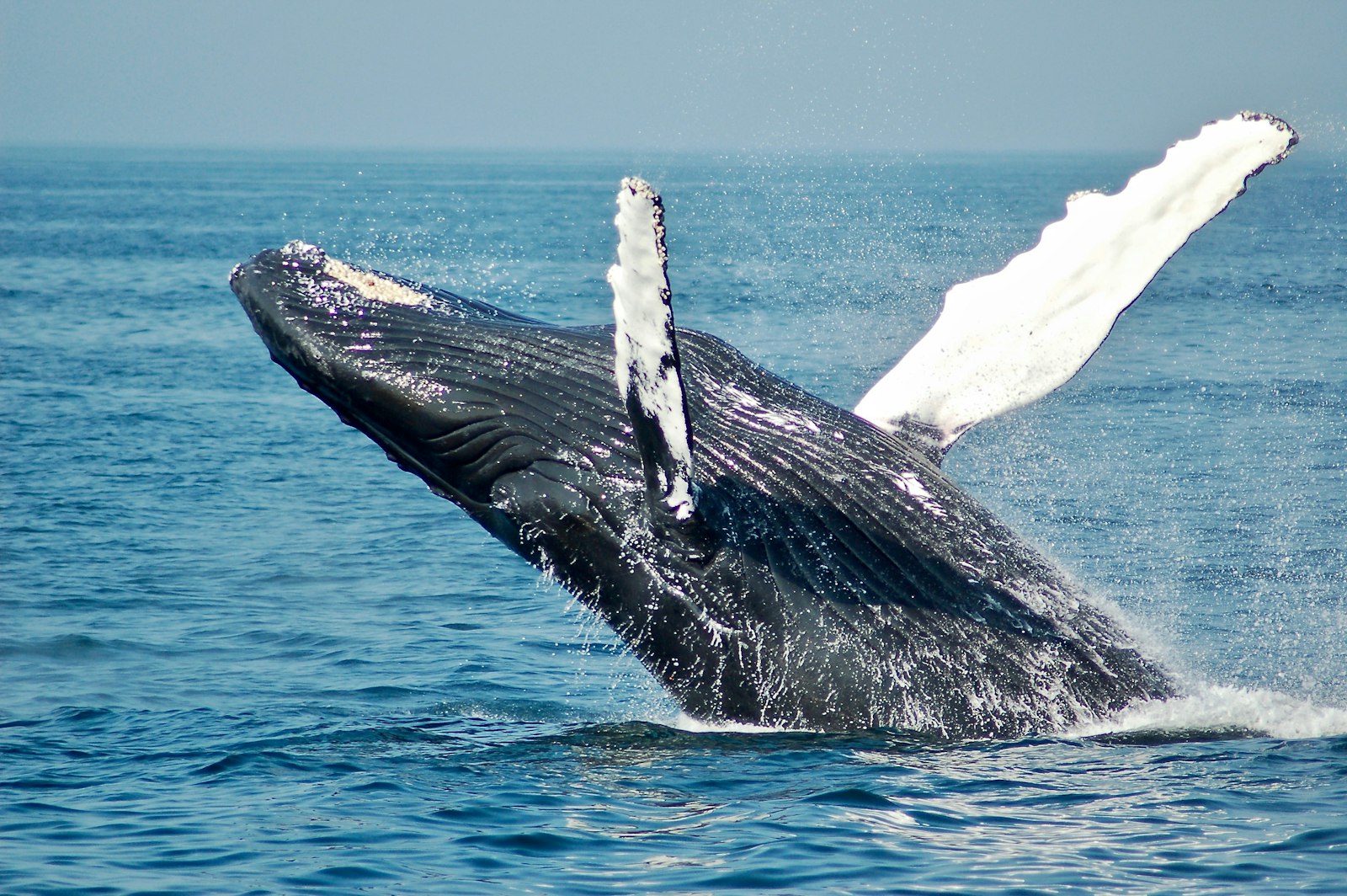
The Strait of Magellan is a 350-mile/570 km channel separating the mainland of South America from the large Isla Grande de Tierra del Fuego and connecting the Atlantic and Pacific Oceans. It was first navigated by the explorer Ferdinand Magellan during his circumnavigation voyage in 1520. He named it the Strait of All Saints, because his transit started on November 1, All Saints Day. It was also Magellan who name the southern island Tierra del Fuego, after seeing the smokes from fires in the camps of the native Yahgan people, whom he named the Patagones, meaning “big feet,” and their land Patagonia. The strait is between two and 20 miles wide, and earned the nickname Dragon’s Tail among sailors, for its tortuous path. Along with the Beagle Channel, it was one of two protected channels for sailing between the oceans prior to the construction of the Panama Canal The third alternative was the notoriously turbulent open ocean Drake Passage beyond Cape Horn. There is one sizeable port city in the strait, Punta Arenas, Chile, which has an interesting harbor breakwater consisting of two ship hulks, the Cavenga and an old iron four-mast sailing ship, the County of Peebles. There are several Chilean national parks and monuments in the strait, including Los Pinguinos National Monument and a sanctuary for protecting humpback whales. Southern right whales are also known to frequent the strait’s waters. There are 41 light signals in the strait, including the San Isidro Lighthouse that has been restored and is now a museum, and the Evangelistas Lighthouse at the western entrance. The strait was very difficult for sailing ships, due to unpredictable winds and tidal currents. Depending on tide conditions, even modern ships often opt for one of the alternative routes, because the tidal speeds are greatly exaggerated by the Venturi effect through narrows.
Days 7-8
— Punta Arenas, Chile
Punta Arenas is the most important port and commercial center for the immense Patagonian agricultural area of Chile. The economy revolves around the sheep raised on the expansive pampas. Located on the Strait of Magellan separating the mainland from the island of Tierra del Fuego, the city proclaims itself the southernmost city in the world. Its colonial history may be explored in the splendid Plaza de Armas, in the magnificent tombs of the Pioneer Cemetery and the opulent Braun-Menendez Mansion. The heritage of Ferdinand Magellan’s exploration can be recaptured at the Nao Victoria ship museum. Fort Bulnes national monument memorializes the earliest colonial period, while the offshore Los Pinguinos Natural Monument preserves the thriving seabird and sea lion colonies around Magdalena Island. This is also the port from which a full-day flight excursion takes visitors to the majestic peaks and picturesque lakes and wildlife of the Torres del Paine National Park.
Day 9
— Days At Sea
Day 10
— Ushuaia, Argentina
Once deemed too harsh for European settlement, Ushuaia's rugged beauty was the realm of its native inhabitants - the Yahgan People. Today, it holds the distinctive title of being the southernmost city on Earth, often referred to as "the end of the world." Situated along the banks of the Beagle Channel, Ushuaia unveils itself like an artist's masterpiece. A mosaic of vibrant houses adds a splash of color against the dramatic backdrop of snow-capped mountains. Dominating this breathtaking panorama is Monte Olivia, its jagged peaks soaring 4,530 feet above the landscape. The terrain transforms from dense forests of Southern beech trees at sea level to alpine ecosystems as you ascend. Thanks to its strategic location and proximity to the Antarctic Peninsula, Ushuaia has earned its status as the gateway to the Great White Continent. Yet, Ushuaia is more than just a stepping stone to Antarctica. It's a treasure trove of natural history, indigenous heritage, and the spirit of exploration. From embarking on awe-inspiring treks in the nearby Tierra del Fuego National Park to delving into the rich narratives at "The End of the World" museum, Ushuaia promises a plethora of experiences that cater to the curious and the adventurous alike.
Days 11-12
— Days At Sea
Day 13
— The Seabourn Antarctic Experience (Day 1)
This is no ordinary day— with no fixed itinerary, the day unfolds like a secret whispered by nature herself. Depending on weather, ice conditions and reported wildlife distribution during your voyage, your Expedition Leader will craft a bespoke adventure, guided by tides and instinct for you to discover.
Day 14
— The Seabourn Antarctic Experience (Day 2)
This is no ordinary day— with no fixed itinerary, the day unfolds like a secret whispered by nature herself. Depending on weather, ice conditions and reported wildlife distribution during your voyage, your Expedition Leader will craft a bespoke adventure, guided by tides and instinct for you to discover.
Day 15
— The Seabourn Antarctic Experience (Day 3)
This is no ordinary day— with no fixed itinerary, the day unfolds like a secret whispered by nature herself. Depending on weather, ice conditions and reported wildlife distribution during your voyage, your Expedition Leader will craft a bespoke adventure, guided by tides and instinct for you to discover.
Day 16
— The Seabourn Antarctic Experience (Day 4)
This is no ordinary day— with no fixed itinerary, the day unfolds like a secret whispered by nature herself. Depending on weather, ice conditions and reported wildlife distribution during your voyage, your Expedition Leader will craft a bespoke adventure, guided by tides and instinct for you to discover.
Day 17
— The Seabourn Antarctic Experience (Day 5)
This is no ordinary day— with no fixed itinerary, the day unfolds like a secret whispered by nature herself. Depending on weather, ice conditions and reported wildlife distribution during your voyage, your Expedition Leader will craft a bespoke adventure, guided by tides and instinct for you to discover.
Day 18
— The Seabourn Antarctic Experience (Day 6)
This is no ordinary day— with no fixed itinerary, the day unfolds like a secret whispered by nature herself. Depending on weather, ice conditions and reported wildlife distribution during your voyage, your Expedition Leader will craft a bespoke adventure, guided by tides and instinct for you to discover.
Days 19-20
— Days At Sea
Day 21
— The Seabourn South Georgia Experience (Day 1)
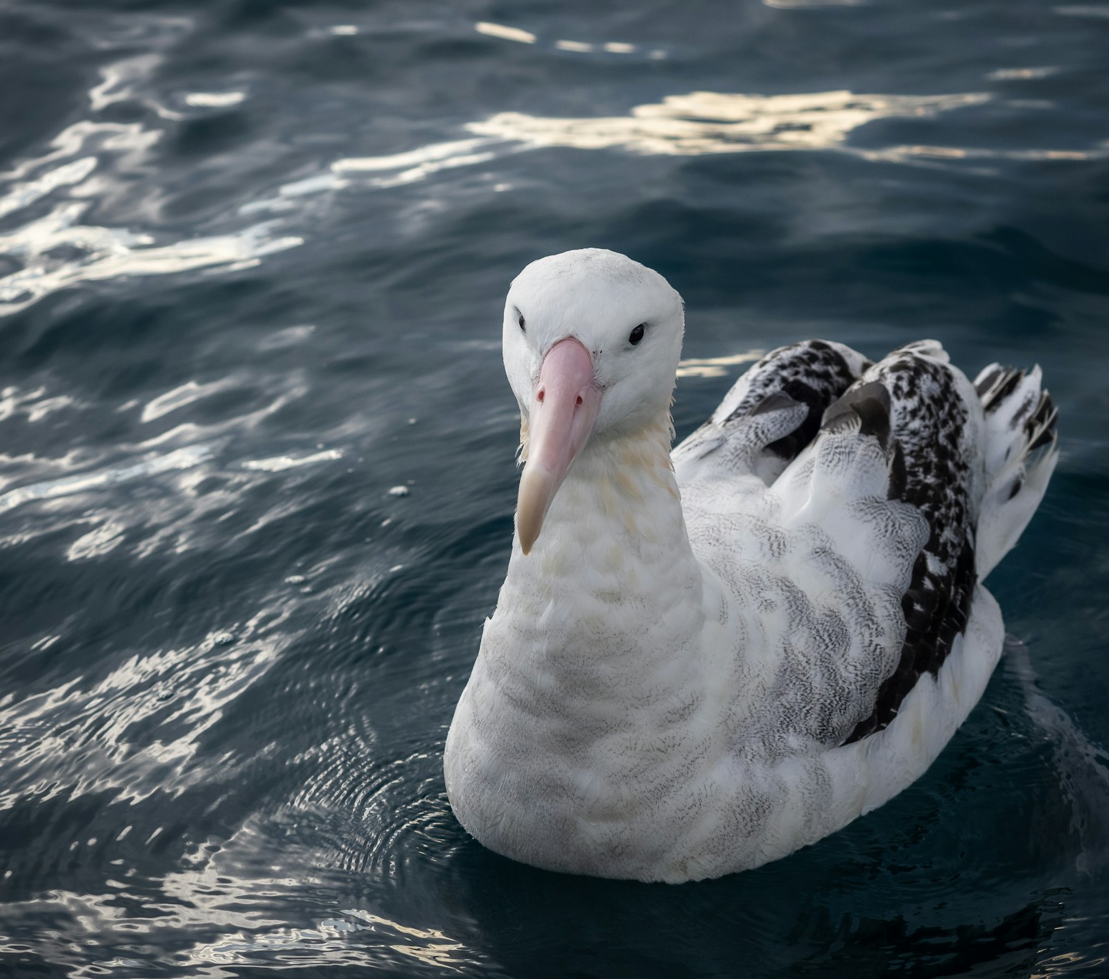
The South Georgia Islands Group, one of the least visited destinations on earth, is a gem in the heart of the sub-Antarctic. Comprising of South Georgia Island and its smaller surrounding islands and rocks, this untouched paradise houses a rich tapestry of wildlife, thriving in a climate that is as harsh as it is beautiful. Despite the presence of ice and snow, these islands are remarkably green, their vegetation a stark contrast to the icy expanses of Antarctica. This is a Lost Eden where nature reigns supreme, teeming with an array of wildlife that includes vast colonies of king and other penguin species, fur and elephant seals, albatrosses, giant petrels, and other seabirds. Offshore, whales, orcas, and dolphins thrive in the nutrient-rich waters, making this the most diverse marine ecosystem on earth. Your journey through the South Georgia Islands Group is carefully curated by your Expedition Leader based on local conditions and wildlife reports. You'll venture to historic communities like Grytviken, visit the sprawling breeding colony of king penguins on Salisbury Plain, and explore the rarely-visited, lesser-known sites nature allows.
Day 22
— The Seabourn South Georgia Experience (Day 2)
The South Georgia Islands Group, one of the least visited destinations on earth, is a gem in the heart of the sub-Antarctic. Comprising of South Georgia Island and its smaller surrounding islands and rocks, this untouched paradise houses a rich tapestry of wildlife, thriving in a climate that is as harsh as it is beautiful. Despite the presence of ice and snow, these islands are remarkably green, their vegetation a stark contrast to the icy expanses of Antarctica. This is a Lost Eden where nature reigns supreme, teeming with an array of wildlife that includes vast colonies of king and other penguin species, fur and elephant seals, albatrosses, giant petrels, and other seabirds. Offshore, whales, orcas, and dolphins thrive in the nutrient-rich waters, making this the most diverse marine ecosystem on earth. Your journey through the South Georgia Islands Group is carefully curated by your Expedition Leader based on local conditions and wildlife reports. You'll venture to historic communities like Grytviken, visit the sprawling breeding colony of king penguins on Salisbury Plain, and explore the rarely-visited, lesser-known sites nature allows.
Day 23
— The Seabourn South Georgia Experience (Day 3)
The South Georgia Islands Group, one of the least visited destinations on earth, is a gem in the heart of the sub-Antarctic. Comprising of South Georgia Island and its smaller surrounding islands and rocks, this untouched paradise houses a rich tapestry of wildlife, thriving in a climate that is as harsh as it is beautiful. Despite the presence of ice and snow, these islands are remarkably green, their vegetation a stark contrast to the icy expanses of Antarctica. This is a Lost Eden where nature reigns supreme, teeming with an array of wildlife that includes vast colonies of king and other penguin species, fur and elephant seals, albatrosses, giant petrels, and other seabirds. Offshore, whales, orcas, and dolphins thrive in the nutrient-rich waters, making this the most diverse marine ecosystem on earth. Your journey through the South Georgia Islands Group is carefully curated by your Expedition Leader based on local conditions and wildlife reports. You'll venture to historic communities like Grytviken, visit the sprawling breeding colony of king penguins on Salisbury Plain, and explore the rarely-visited, lesser-known sites nature allows.
Days 24-25
— Days At Sea
Day 26
— Stanley/Falkland Is/Islas Malvinas
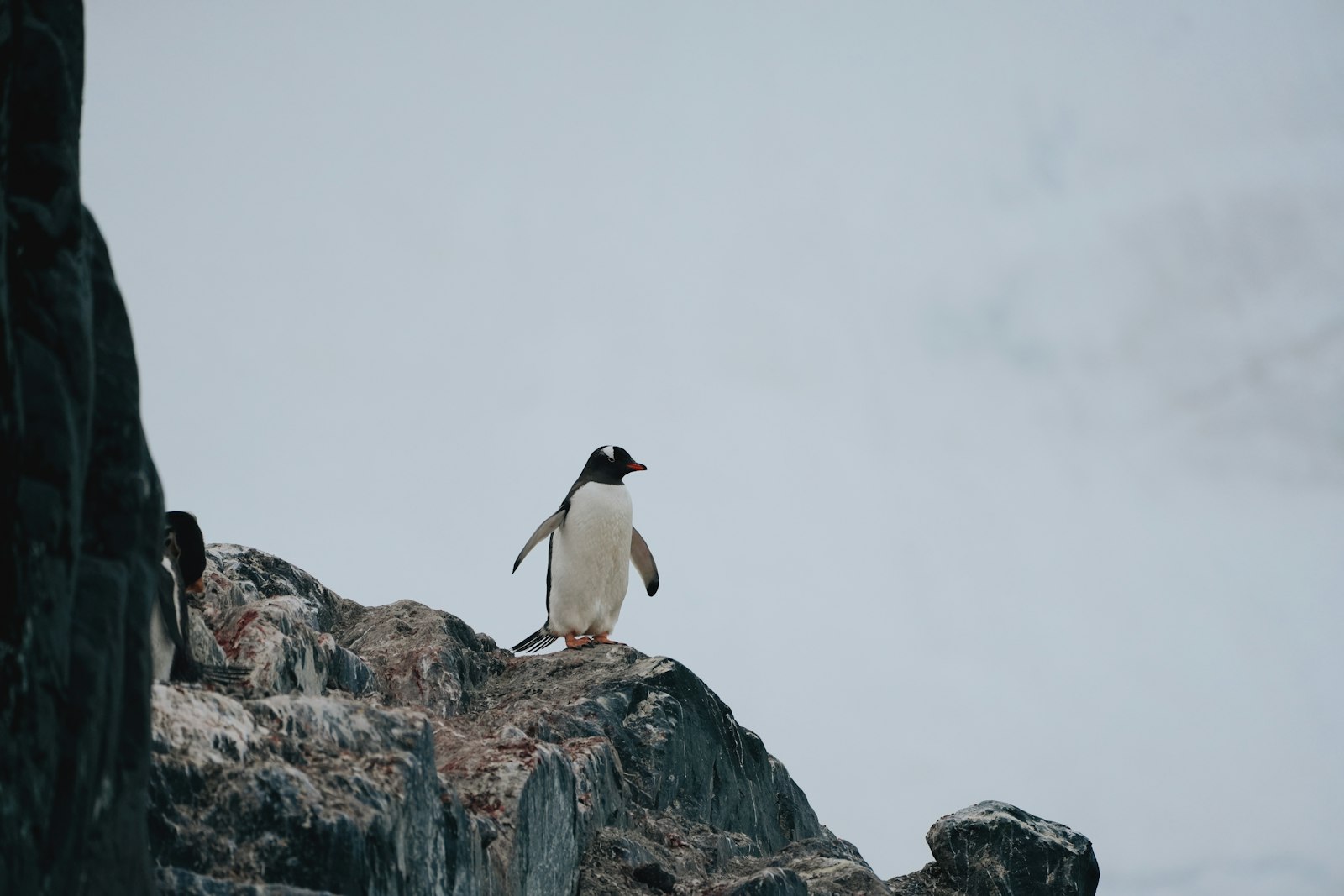
The lonely lighthouse at Cape Pembroke welcomes arrivals to Stanley. It alerts ships to the treacherous rocks, reefs and shoals for which the Falkland Islands have long been known. With a population of over 2,000 people, Stanley is the largest settlement on the islands. Its gardens, tea rooms, brightly colored houses and hotels lend it a slightly Victorian feel, seemingly suspended in time. The Anglican Cathedral, the southernmost in the world, stands prominently on Stanley’s waterfront. The Falklands’ unique abundance of wildlife is evident in Stanley. Dolphins visit its harbor, while steamer ducks, kelp gulls, and other birds abound on shore. Southern sea lions can be spotted basking in the sun. Southern giant petrels often fly through town, oblivious to the human presence. Founded in the 1840s, the town was named after Edward Smith-Stanley, Earl of Derby, who never visited the islands. INCLUDED SHORE EXCURSION: Bluff Cove Lagoon: Penguins & Tea Discover breeding King and Gentoo penguins and the abundant bird species of the Falkland Islands on this scenic, off-road excursion to the privately-owned Bluff Cove Lagoon wildlife haven. After tendering ashore, you will be met by the Bluff Cove team and set out with your driver/guide by minibus. A 20-minute journey takes you through Stanley and across the rolling hills to Bluff Cove Farm. Here, switch to a 4x4 Land Rover vehicle. Your skillful driver will navigate the rugged off-road terrain for 20 minutes to the Bluff Cove Lagoon penguin rookery. A knowledgeable and friendly ranger will accompany you on a leisurely stroll through the penguin colony, which features a scenic backdrop of a large lagoon and a white, sandy beach that is occasionally patrolled by sea lions from the nearby island. This beautiful, pristine reserve is home to more than 1,000 breeding pairs of Gentoo penguins which protect the growing colony of King penguins and their chicks. Magellanic penguins, which burrow on the nearby island, can often be found on the beach. Bird species that frequent or nest in the area include skuas, upland geese, ruddy-headed geese, Magellanic oyster-catchers, South American terns, dolphin gulls, flightless Falkland steamer ducks, snowy sheathbills and southern giant petrels, among others. At the legendary Sea Cabbage Café on the beach, relax over tea, coffee and hot chocolate accompanied by delicious home-baked treats such as scones with diddle-dee jam and fresh cream. Bask in the warmth and aroma of the peat stove while the enjoying splendid vistas of waves crashing on the sandy beach and penguins porpoising in. The Bluff Cove Museum, also by the beach, depicts life in the Falklands and tells the story of Bluff Cove. You can find out about the farm, the nearby 1863 ‘sugar wreck’, the 1982 war with Argentina and the fabulous lagoon wildlife. You will have free time to take photographs, stroll along the beach and look around the museum. A small gift shop sells unique Bluff Cove souvenirs, including Bluff Cove tweed items made with the farm wool, and postcards that can be stamped and mailed from here. Look for samples of knitted, crocheted and felted local wool work displayed on the walls of the café and museum. OPTIONAL SHORE EXCURSIONS: Kelp Point Exclusive Wildlife Excursion 74 Days to Victory
Day 27
— The Seabourn Falkland Island Experience (Day 1)
There is nowhere else in the world like the Falkland Islands. This archipelago is a remote, wind-swept place of stunning landscapes, dazzling white sand beaches, magnificent wildlife, and a rather gregarious mix of people. Over 200 islands surround the two main islands of West and East Falkland. These isolated and treeless shores are home to an overwhelming abundance of birdlife: albatross, penguins, caracaras, geese, and many others. Perhaps it was the very remoteness of the islands; the allure of its barren landscapes, pure in their austerity and colorful in their details, and the immensely large open skies that attracted settlers to its shores long ago, the islands have an accumulated a wealth of maritime and military history. More than three hundred shipwrecks litter its shores, while the stark white crosses of both British and Argentine soldiers stand as a silent reminder to the war of 1982. Numerous claims for the islands have been put forward in the course of their history. Nowadays the Falkland Islands are a self-governing British Overseas Territory.
Day 28
— The Seabourn Falkland Island Experience (Day 2)
There is nowhere else in the world like the Falkland Islands. This archipelago is a remote, wind-swept place of stunning landscapes, dazzling white sand beaches, magnificent wildlife, and a rather gregarious mix of people. Over 200 islands surround the two main islands of West and East Falkland. These isolated and treeless shores are home to an overwhelming abundance of birdlife: albatross, penguins, caracaras, geese, and many others. Perhaps it was the very remoteness of the islands; the allure of its barren landscapes, pure in their austerity and colorful in their details, and the immensely large open skies that attracted settlers to its shores long ago, the islands have an accumulated a wealth of maritime and military history. More than three hundred shipwrecks litter its shores, while the stark white crosses of both British and Argentine soldiers stand as a silent reminder to the war of 1982. Numerous claims for the islands have been put forward in the course of their history. Nowadays the Falkland Islands are a self-governing British Overseas Territory.
Day 29
— Days At Sea
Day 30
— Ushuaia, Argentina
Once deemed too harsh for European settlement, Ushuaia's rugged beauty was the realm of its native inhabitants - the Yahgan People. Today, it holds the distinctive title of being the southernmost city on Earth, often referred to as "the end of the world." Situated along the banks of the Beagle Channel, Ushuaia unveils itself like an artist's masterpiece. A mosaic of vibrant houses adds a splash of color against the dramatic backdrop of snow-capped mountains. Dominating this breathtaking panorama is Monte Olivia, its jagged peaks soaring 4,530 feet above the landscape. The terrain transforms from dense forests of Southern beech trees at sea level to alpine ecosystems as you ascend. Thanks to its strategic location and proximity to the Antarctic Peninsula, Ushuaia has earned its status as the gateway to the Great White Continent. Yet, Ushuaia is more than just a stepping stone to Antarctica. It's a treasure trove of natural history, indigenous heritage, and the spirit of exploration. From embarking on awe-inspiring treks in the nearby Tierra del Fuego National Park to delving into the rich narratives at "The End of the World" museum, Ushuaia promises a plethora of experiences that cater to the curious and the adventurous alike.
Day 30
— Buenos Aires
Ezeiza International Airport, the airport for Buenos Aires. Referred to as the "Paris of South America", Buenos Aires is considered as one of the most livable cities in South America. Although the bustling capital city has just under 3,000,000 inhabitants and a population density of 13,680 inhabitants per square kilometer (34,800 per square mile), it was rated in 2018 as one of the top cities on the continent for its ‘quality of life’. Twinned with world cities such as Moscow and Miami, Buenos Aires displays through its architecture, a cultural past rooted in both the Old and New Worlds. A vibrancy for life can be seen everywhere. Crowded public markets, street performers dancing the tango, colorful graffiti-style street art, ultra-modern buildings, a dramatic skyline and a bustling port. Culturally, Buenos Aires has the busiest live theatre industry on Earth, outperforming New York, London and Paris. Every weekend, over 300 theatres are active with plays and productions. Buenos Aires was founded in 1580 by Spanish explorer Juan de Garay, and has changed hands many times during its history.